News - Cartography & GIS
External job offers
List of external vacancies presented to the Department of Geography For notification and dissemination.

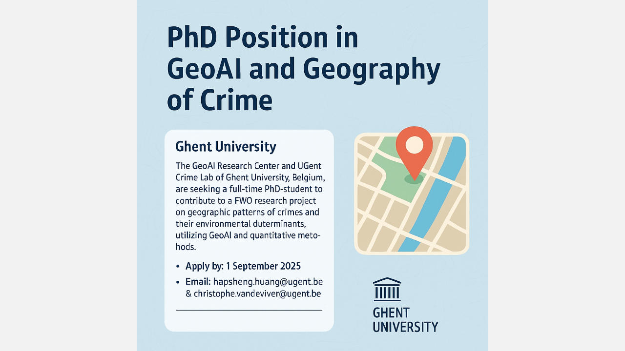
PhD in GeoAI & Criminology
(23-06-2025) The GeoAI Research Center and UGent Crime Lab are offering a full-time PhD position in the field of Geospatial AI (GeoAI) and Geography of Crime at Ghent University. The position starts on 1 October 2025, or as soon as possible thereafter. The successful candidate will contribute to a research project on geographic patterns of crime and their environmental determinants, focusing on:
- Fine-grained spatial data modelling of street environments using GeoAI
- Understanding the role of geographic environment in crimes and crime diversity
- Spatio-temporal analysis based on large-scale geospatial data
Applications (in English) must be submitted by 1 September 2025 and include:
- A cover letter (max. 2 pages)
- A CV with one referee
- Bachelor and master transcripts or interim documents
- A 1-page summary of your master's thesis or recent research work
For more information and the full job description, visit: https://geoai.ugent.be

GIS-T.eu: powerful tools for climate education
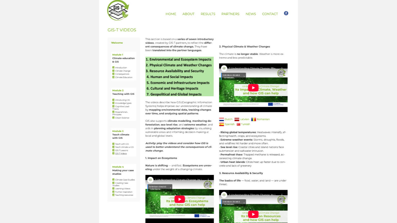
(23-06-2025) GIS-T.eu is an educational platform (in multiple languages) involving the department, which supports teachers and students in the use of Geographic Information Systems (GIS) within current themes such as sustainability, land use and, above all, climate change (https://gis-t.eu/).
The free MOOC GIS for the Future forms the heart of the site (https://gis-t.eu/gis-for-the-future/). This course contains 51 detailed lessons that thematically address climate challenges, from heat stress and flood risks to sustainable energy and urban greening. Each lesson is supported by instructional videos and concrete GIS assignments that teach students how to analyse and visually represent data.
With GIS-T.eu, you can bring climate education to life in the classroom: interactive, investigative and future-oriented. Discover how you can use GIS to teach students to look critically at their environment and explore solutions for tomorrow's world.

Podcast: What is GeoAI and how is it transforming the field of geography?
(17-12-2024) In this episode, host Liselotte Erauw talks with Nico Van de Weghe (Ghent University) about GeoAI—the integration of Artificial Intelligence and Geographic Information Systems (GIS) that elevates geographical analysis. They explore practical applications, challenges related to data and ethics, and the evolving role of geographers in an AI-driven world.
3 reasons to listen:
- Discover how GeoAI is transforming the future of geography.
- Learn how AI contributes to better insights while understanding where human control remains essential.
- Be inspired by practical examples and sharp insights.
Curious about the full discussion and how GeoAI is reshaping geography? Listen to the podcast and share your vision on GeoAI!
Note: This episode is Dutch-spoken.
Listen here: https://open.spotify.com/episode/6Fx3ZUyV2kXv6zoLQfU1C6?si=f2-QpaLmRRWhZU9859WHHg

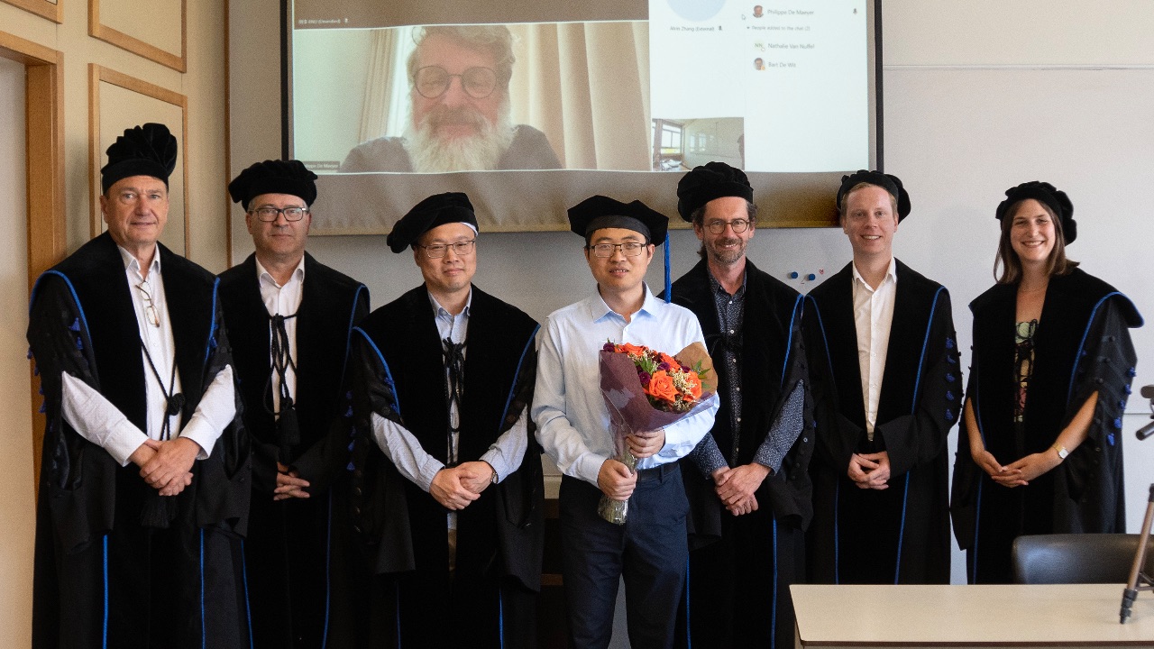
Zhicheng Zhan successfully defended his PhD
(03-07-2024) On Tuesday 25 June 2024, Zhicheng Zhan successfully defended his PhD: "Analyzing Crowdsourced Indoor Route Descriptions to Facilitate Indoor Navigation".
Supervisors: Prof Nico Van de Weghe (UGent), Prof Haosheng Huang (UGent).
Members of the examination committee: Chairman: Prof Alain De Wulf (UGent), Prof Georg Gartner (Vienna University of Technology), Prof Philippe De Maeyer (UGent), Dr Pepijn Viaene (HoGent), Dr Laure De Cock (UGent).