3D Data Acquisition
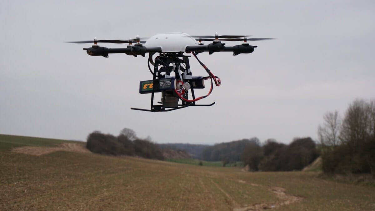
3D data acquisition focuses on all modern techniques of surveying: survey engineering, remote sensing, photogrammetry and hydrography.
News in the spotlight
Did you know that through our programme you can also become a Surveyor Expert? Many people don't really know what a Surveyor can and does. In this short clip below, colleague Lander and former student Seppe explain what a Surveyor does during his job:
Research themes
For the acquisition of terrestrial data, research is performed on a complete range of topographical and photogrammetrical instruments: levelling instruments, robotic total stations, digital cameras for terrestrial photogrammetry, different GNSS receivers, terrestrial laser scanners, mobile mapping,...
The research activities in the field of remote sensing and photogrammetry focus on different applications with satellite images and aerial photographs. These are processed to create digital elevation models, ortho-photos and 3D visualizations.
The main research topics in the field of bathymetry are real-time positioning, autonomous underwater vehicles, computational geometry, triangulation algorithms and filtering techniques of 3D data.

